QUICK ANSWER
What you need to know
The Pillars of Hercules are a distinctive coastal formation at the entrance to English Harbour. They can be part of the scenery around guided snorkeling from Galleon Beach, but reaching or viewing them from the water always depends on sea conditions, the group and the guide’s route.
What the Pillars of Hercules are
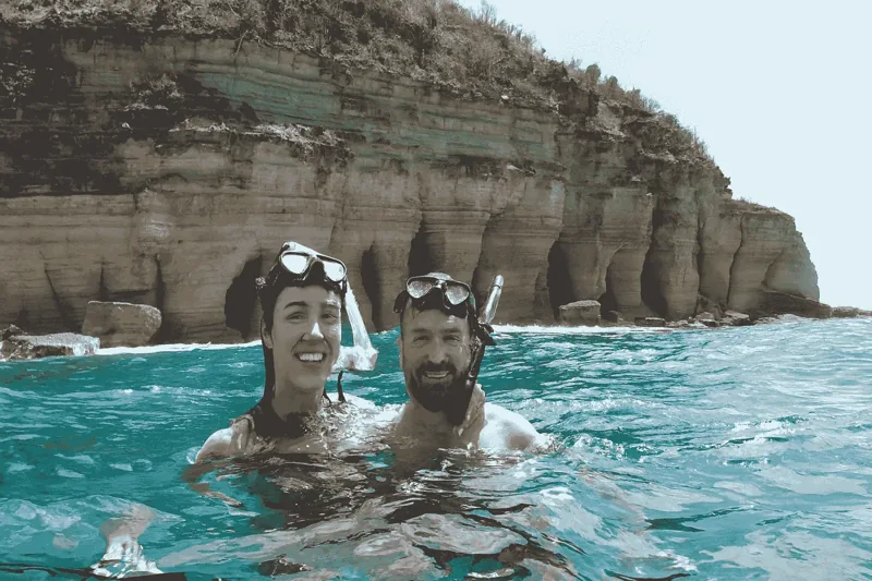
The Pillars of Hercules are a natural cliff formation on the headland at the entrance to English Harbour. Alternating vertical grooves and projecting ribs give the rock its “pillared” appearance. From a beach photograph they read as texture; from water level they become a tall, repeating wall that marks the transition between the enclosed harbour and the open coast.
The formation is not a built monument and it is not inside Nelson’s Dockyard. It belongs to the same wider English Harbour landscape whose natural deep bays, narrow entrance and surrounding highlands helped make the harbour strategically important.
Why the view from the water is different
At the surface, swimmers see the lower rock face, the meeting line between sea and cliff, and the way sunlight changes the pale and rust-coloured layers. The scale is clearer because there is no elevated viewpoint flattening the scene. The route toward it can also reveal reef edges, fish and open-water blue before the cliff becomes the dominant view.
That sequence matters. Treating the Pillars only as a photo stop misses the surrounding marine environment and the feeling of approaching Antigua’s south-coast geology from the sea.
The marine environment around the headland
Rocky coast, reef structure and changing depth create a different visual experience from the sandy and seagrass areas closer to Galleon Beach. Fish may use ledges and reef edges for shelter, while open-water movement is more apparent near the harbour entrance. Snorkelers should observe the rock rather than approaching close enough to touch or brace against it.
How a guided route develops
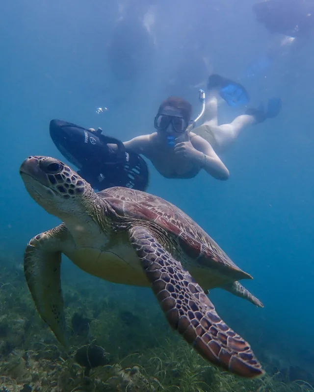
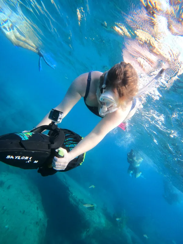
Skylork starts from Galleon Beach, not from the Pillars themselves. After the land briefing and shore entry, the guide moves the group through the operating area and decides how far outward is sensible. Sea scooters add a smooth powered glide, but they do not remove the need to swim, steer and maintain spacing.
A good route is not judged only by whether it reaches the most distant view. If the group turns earlier, the nearshore habitat, reef and water-level coastline are still the experience—not consolation prizes.
Why conditions matter here
The Pillars sit by the harbour entrance, where the water can feel more exposed than the beach. Wind, swell, visibility, boat movement and the group’s comfort all influence the turnaround point. That is the one qualification worth remembering: the landmark is compelling, but it is never more important than a controlled group.
If weather prevents the activity entirely, Skylork first attempts to rebook and applies the published weather policy when the guest’s remaining time in Antigua makes that impossible.
The UNESCO and harbour context
Across the water, Nelson’s Dockyard forms part of the Antigua Naval Dockyard and Related Archaeological Sites, inscribed by UNESCO in 2016. UNESCO describes deep, narrow bays, surrounding highlands and a narrow entrance as natural features used in the harbour’s historic defence and operation. The Pillars help visitors read that geography from the seaward side.
Pairing a morning snorkel with a later Dockyard visit creates two perspectives on the same place: natural harbour structure from the water, and maritime history on land.
FROM THE WATER
What the guide is assessing on the way out
The decision is not simply “Pillars or no Pillars.” The guide is watching how the group breathes, steers, maintains spacing and responds to the water as the coastline becomes more exposed. That continuous assessment determines a better turnaround point than a fixed promise made before entry.